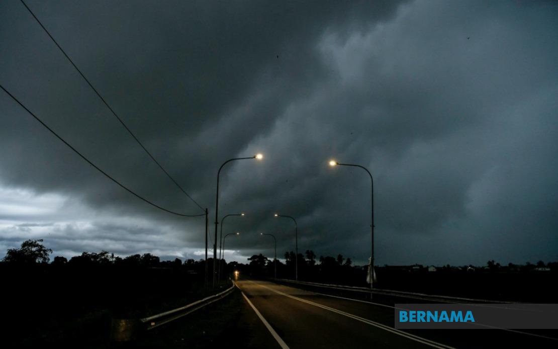
The Malaysian Meteorological Department issued a comprehensive thunderstorm warning on August 2 covering 10 states across the peninsula and East Malaysia, with severe weather expected to persist until 6 pm. The alert encompasses multiple districts experiencing simultaneous atmospheric instability, prompting residents across affected areas to exercise heightened caution during outdoor activities and travel.
Perlis faces blanket coverage under the warning, while Kedah experiences localised impacts in six districts: Padang Terap, Kuala Muda, Sik, Baling, Kulim and Bandar Baharu. Perak's warning extends across ten administrative divisions including Kerian, Larut, Matang and Selama, along with Hulu Perak, Kuala Kangsar, Kinta, Kampar, Batang Padang and Muallim. The northern corridor thus represents a concentrated zone of severe weather activity, reflecting atmospheric conditions that have gathered strength over the peninsular northwest.
Kelantan's east coast positioning places seven of its districts under alert status: Pasir Mas, Jeli, Tanah Merah, Machang, Pasir Puteh, Kuala Krai and Gua Musang. Terengganu experiences universal coverage, indicating particularly unstable conditions across Malaysia's entire east coast state. This concentration underscores the monsoon-influenced weather patterns characteristic of the east coast during this season, where moisture convergence creates sustained thunderstorm development.
Pahang's exposure includes eight districts spanning the state's interior and coastal regions—Cameron Highlands, Lipis, Raub, Jerantut, Bentong, Kuantan, Pekan and Rompin. This geographic spread suggests that elevated interior regions and lowland areas alike face precipitation intensity, with mountainous terrain potentially exacerbating localised effects. Selangor's warning remains geographically limited to Hulu Selangor district, indicating the severe weather band's selective impact on the central region.
Southern Johor faces disruption across seven localities: Batu Pahat, Kluang, Mersing, Pontian, Kulai, Kota Tinggi and Johor Bahru. The inclusion of Mersing and Kota Tinggi reflects the warning's eastward penetration toward the peninsula's south-eastern flank, where maritime influences amplify storm development. This distribution suggests a weather system with considerable geographical breadth rather than a isolated convective cell.
East Malaysian territories experience significant impacts, with Sarawak's alert affecting multiple divisions across three administrative regions. Kuching division faces warnings in Bau and the main urban centre, while Betong experiences coverage in Saratok and Kabong. Sarikei, Sibu (including Selangau), Mukah, Bintulu, and Miri with its sub-divisions of Subis, Beluru, Miri and Marudi all remain under alert, alongside Limbang. This extensive coverage indicates that Sarawak's weather patterns have aligned with the broader regional system.
Sabah's affected zones concentrate in the state's interior and northern regions. Interior divisions of Sipitang, Tenom, Kuala Penyu, Beaufort and Tambunan face thunderstorm conditions, whilst the West Coast and Sandakan's Beluran district also remain under warning. Kudat in the far north completes the coverage, suggesting that the atmospheric disturbance extends across Sabah's entire geography from south-western interior regions through to the northern peninsula.
Thunderstorm warnings of this magnitude and geographic scope indicate a significant atmospheric system rather than scattered afternoon convection. The persistence of conditions until 6 pm suggests that instability will likely peak during afternoon heating hours before gradually diminishing toward evening. Residents in affected districts should expect sudden onset of heavy precipitation, potentially causing flash flooding in low-lying areas and drainage-prone localities. The concurrent strong wind advisory adds complexity, with tree branches and loose objects posing hazards in open areas.
For commuters and travellers, reduced visibility from heavy downpours demands heightened caution on road networks, particularly in districts spanning multiple states where weather transitions may prove abrupt. The warning's afternoon timing affects peak business hours and school dismissal periods across the peninsula, necessitating coordinated responses from local authorities managing traffic and public safety. East Malaysian communities should similarly prepare for rapid weather deterioration affecting both urban centres and interior settlements.
The meteorological department's decision to issue district-level specificity rather than state-wide blanket coverage reflects improved forecasting precision, enabling residents to assess localised risk accurately. However, the warning's breadth underscores the current atmospheric configuration favouring widespread thunderstorm development across multiple regions simultaneously. Climate patterns influencing such synchronised activity often persist for several days, suggesting that similar conditions may recur in subsequent weather cycles.
Public vigilance remains essential throughout the warning period, with particular attention to waterway management, electrical safety during lightning activity, and securing outdoor installations vulnerable to wind damage. Whilst afternoon thunderstorms represent routine Malaysian weather phenomena, the coordinated nature of this system across ten states and multiple East Malaysian divisions suggests meteorological conditions merit respect and appropriate precautionary measures.

