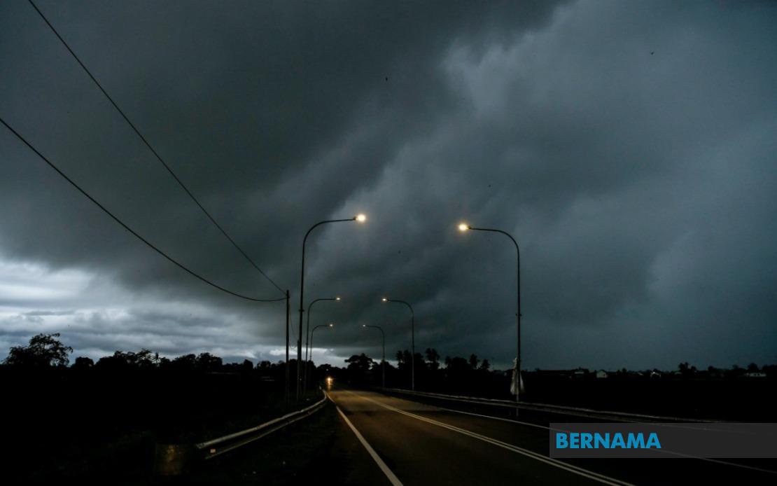
The Malaysian Meteorological Department has moved to alert the public about severe weather developing across Peninsular Malaysia, with thunderstorm warnings now in effect for numerous districts until noon today. The alert encompasses a significant portion of the country's western and central regions, prompting residents and commuters to exercise heightened caution during the affected hours.
The department identified Kedah as one of the primary zones of concern, with the districts of Kuala Muda and Yan facing the brunt of expected atmospheric disturbance. These northern areas, traditionally vulnerable to monsoon-influenced weather patterns, remain under close meteorological observation as moisture-laden systems move across the region.
Penang, Malaysia's densely populated island state, has also been designated as an area requiring public awareness. Given the state's geography and high population concentration, particularly in Georgetown and surrounding urban centres, the potential for disruption to daily activities warrants advance preparation from residents and authorities alike.
Perak's coastal and interior districts feature prominently in the alert, with Bagan Datuk identified as a specific concern zone. Meanwhile, several inland Perak municipalities including Kerian, Larut, Matang and Selama, Manjung, Perak Tengah, and Hilir Perak remain under weather watch until 1 pm, indicating the system's expected persistence in the state through the early afternoon hours.
The Klang Valley region, Malaysia's economic heartland, faces considerable exposure under this alert. The metropolitan Selangor areas encompassed—including Klang, Kuala Langat, Sepang, Kuala Selangor, Petaling, Sabak Bernam, and Gombak—represent zones of high population density where weather disruptions carry substantial implications for commerce, transportation, and public services. The inclusion of these districts signals the meteorological system's potential reach into Malaysia's most urbanised corridor.
Both federal territories remain under advisory status. Kuala Lumpur and Putrajaya, hosting critical government institutions, financial centres, and transportation hubs, face particular vulnerability given their infrastructure density and reliance on regular operational schedules. Weather-related disruptions in these areas typically cascade across broader economic and administrative functions.
The warning specifically identifies three primary atmospheric hazards: thunderstorm activity, which can develop with minimal warning; heavy rainfall, capable of overwhelming drainage systems and triggering localised flooding; and strong winds that pose risks to structures, vegetation, and surface transport. This combination of factors demands coordinated public awareness, as the simultaneous occurrence of all three elements can create hazardous conditions exceeding the impact of any single weather phenomenon.
Residents across affected areas should remain vigilant during the warning period, particularly those engaged in outdoor activities, driving, or operating in exposed locations. The relatively narrow time window—spanning from the alert issuance through noon to 1 pm—suggests a concentrated but intense weather system rather than prolonged conditions, allowing for focused preparation and response protocols.
Utilities and essential services typically activate heightened monitoring procedures during such alerts, given the potential for power disruptions, drainage overflow, and communication interference. Authorities in affected states coordinate with emergency services to ensure rapid response capabilities should weather-related incidents occur.
The alert underscores the ongoing importance of meteorological monitoring throughout Malaysia's annual weather cycles. As tropical systems and monsoon influences continue shaping the nation's climate patterns, timely warnings from MetMalaysia provide critical decision-making information for both the general public and institutional stakeholders managing essential infrastructure and services across the country.

