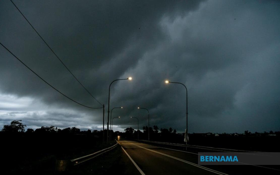
The Malaysian Meteorological Department issued a severe weather advisory on July 7, alerting residents across a significant portion of the country to prepare for thunderstorms, torrential rain, and gusty winds through the midnight hours. The weather system is expected to affect multiple locations spanning from peninsular Malaysia through to Sarawak and Sabah, prompting authorities to urge the public to take necessary precautions.
In peninsular Malaysia, the entire state of Melaka falls within the warning zone, alongside substantial portions of the east coast and southern regions. The impact is particularly concentrated in Terengganu, where seven districts have been identified as vulnerable: Setiu, Kuala Nerus, Hulu Terengganu, Kuala Terengganu, Marang, Dungun, and Kemaman. This extensive coverage across Terengganu reflects the meteorological department's assessment of the system's likely intensity in that region.
The warning extends inland to affect central peninsular regions as well. Both Jerantut and Bera in Pahang are expected to experience the adverse conditions, while the twin districts of Jempol and Tampin in Negeri Sembilan are similarly included in the alert. The southern state of Johor faces perhaps the widest potential impact, with six districts flagged for concern: Tangkak, Segamat, Muar, Batu Pahat, Kluang, and Pontian. This broad geographical spread suggests the weather system has significant reach across the peninsula.
Beyond the mainland, East Malaysian states have also been brought into the alert zone. In Sarawak, four separate areas are under warning: the districts of Sarikei and Sibu along with Limbang and the Song district located within Kapit Division. Additionally, three areas within Betong Division—namely Pusa, Saratok, and Kabong—face similar threatening conditions. The inclusion of these disparate Sarawak locations indicates the system's continental reach.
Sabah's interior and eastern regions are similarly exposed to the hazardous weather. Sipitang in the Interior Division is among the affected zones, while the eastern Tawau Division experiences broader coverage with Sandakan and three additional districts—Tawau, Kunak, and Lahad Datu—all under alert. The pattern of affected areas suggests the storm system has particular influence over coastal and lower-elevation regions across both East Malaysian states.
Thunderstorms of this nature pose multiple risks to communities and infrastructure across the affected regions. Heavy rainfall can trigger flash flooding in low-lying areas and urban zones with poor drainage, potentially disrupting traffic and inundating properties. Strong winds accompanying such systems can damage roofs, topple trees, and create dangerous flying debris. For maritime regions, particularly those in Sarawak and Sabah, rough seas and challenging conditions present navigation hazards.
The timing of this alert—extending through midnight—means residents in affected areas should monitor weather updates closely throughout the evening and early morning hours. Those in vulnerable locations such as flood-prone areas or near coastal zones should consider precautionary measures including securing loose outdoor items, avoiding travel if conditions deteriorate, and staying updated through official meteorological channels and local emergency services.
The geographic scope of this warning underscores the significance of the weather system, affecting communities from the southern tip of peninsular Malaysia through the central regions and extending to the island states of Malaysian Borneo. Residents and authorities in Melaka, the east coast states, southern peninsula, and both Sarawak and Sabah should prepare accordingly and maintain vigilance regarding real-time weather developments.
MetMalaysia's alert represents a precautionary measure designed to give the public adequate notice for preparation and response. Residents are advised to heed guidance from local authorities and emergency management agencies, which may issue additional specific warnings or evacuation orders if conditions warrant further action. The department continues monitoring the weather system and will issue updated forecasts as the situation evolves, providing critical information for public safety and resource allocation by emergency services across the affected states.

