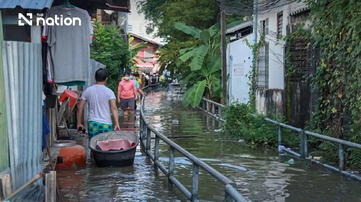
The Department of Disaster Prevention and Mitigation in Thailand has escalated its monitoring efforts across a swath of densely populated territory stretching from the capital to its surrounding provinces, responding to forecasts of elevated sea levels that could overwhelm existing flood defences. The alert, initiated on Saturday, July 11, encompasses Pathum Thani, Nonthaburi, Nakhon Pathom, Samut Sakhon, Samut Songkhram, and Samut Prakan, alongside Bangkok itself, with authorities anticipating critical conditions from Monday, July 13, through Sunday, July 19.
Theerapat Kachamat, the department's director-general, anchored the warning in data provided by the Royal Thai Navy's Hydrographic Department, which tracks water conditions across maritime and riverine systems. The navy's specialists identified the Chao Phraya River corridor near Phra Chulachomklao Fort as particularly vulnerable, with projections indicating water levels will surge significantly during evening hours—specifically between 6pm and 10pm—over the entire week-long period. This temporal concentration means residents and business operators in affected zones will face repeated cycles of heightened risk rather than a single isolated event.
The geographical scope of the alert reflects the interconnected nature of Thailand's central water systems. Six districts in Pathum Thani—specifically Mueang Pathum Thani and Sam Khok—face monitoring, as do three districts in Nonthaburi, three in Nakhon Pathom, the entirety of Samut Songkhram province, and four districts in Samut Prakan. These locations share common characteristics: their proximity to the Chao Phraya River's lower reaches and the tidal influence of the Gulf of Thailand, combined with the presence of low-elevation residential and commercial zones that lie below normal flood defence structures.
For Malaysian observers, this situation carries instructive parallels to flood vulnerabilities in Selangor and other coastal Malaysian states, where tidal surges interact with river systems to create compounded inundation risks. The Thai authorities' preventive approach—issuing advance warnings and coordinating across multiple administrative levels—offers a potential model for regional disaster management, particularly as climate variation increases the frequency and severity of extreme water events across Southeast Asia.
The potential for riverbank overflow extends beyond traditional flooding concerns. Communities situated outside permanent flood barriers, informal settlements lacking structured drainage systems, and commercial operations dependent on riverside access—including floating restaurants and waterborne transportation businesses—all require advance preparation. The authorities have accordingly tasked provincial officials with reaching business operators and residents directly, moving beyond passive public announcements to active notification campaigns.
The Central Disaster Prevention and Mitigation Command's decision to disseminate information through the THAI DISASTER ALERT mobile application demonstrates an attempt to modernise disaster communication in an increasingly digitally connected society. This technological approach enables residents to receive real-time updates about tidal timing, allowing households and enterprises to implement protective measures—whether sandbag placement, merchandise relocation, or temporary closure—with precise advance notice rather than generalised warnings.
The specific timing of high tides—6pm to 10pm each day—carries particular significance for coastal communities and businesses. These evening hours correspond with periods when residents are returning home and when many commercial establishments are concluding operations. Evening-onset flooding presents distinct challenges compared to daytime inundation, potentially trapping individuals during transit and complicating emergency response coordination across darkened environments.
Provincial administrations have been instructed to activate coordination mechanisms with relevant agencies, encompassing both government bodies and private-sector stakeholders with operational interests in flood-prone areas. This inclusive approach recognises that effective disaster management requires engagement from construction companies working on riverbank protection projects, private transportation operators, accommodation businesses, and agricultural enterprises that may occupy low-lying zones.
The department established multiple reporting channels for affected individuals, including the THAI DISASTER ALERT application, LINE-based communication through the ID @1784DDPM, and the dedicated 1784 safety hotline operational around the clock. This redundant communication infrastructure acknowledges that different population segments maintain varying technological capabilities and preferences, ensuring that elderly residents without smartphone access can obtain assistance through traditional hotline mechanisms while younger populations can leverage social media platforms.
For the broader Southeast Asian context, Thailand's high-tide alert system highlights the region's vulnerability to coastal and riverine hazards intensified by sea-level fluctuations, seasonal weather patterns, and long-term environmental changes. Countries like Malaysia, Vietnam, and Indonesia managing comparable geography must consider whether their disaster response infrastructure matches Thailand's multi-channel coordination model. The seven-day duration of the alert period also demonstrates authorities' recognition that elevated tidal conditions may persist beyond a single event window, requiring sustained vigilance and resource availability rather than reactive emergency mobilisation.
The authorities' emphasis on preparing businesses alongside residential populations reflects understanding that economic continuity depends on minimising preventable losses during predictable natural events. Floating restaurants and riverside commerce represent significant employment sources and tourism attractions in these regions; their continued operation during manageable flood conditions requires advance planning and temporary operational adjustments rather than forced closures.
Residents in the affected areas are encouraged to remain alert to official communications over the coming week, implement household-level preparedness measures, and maintain awareness of neighbours requiring assistance, particularly elderly or disabled individuals in high-risk locations. The combination of advance warning, targeted communication, and established emergency response channels provides a framework for minimising casualties and economic disruption during the anticipated tidal event.

