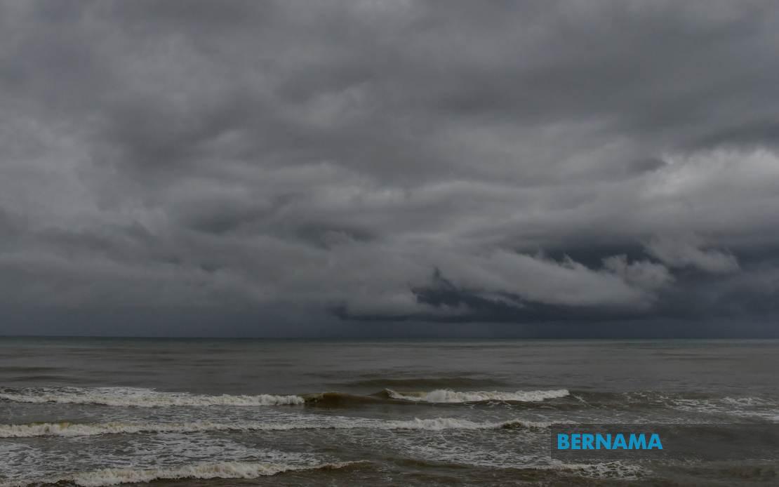
Malaysians across a broad swathe of the country face potentially hazardous weather conditions this evening as the Malaysian Meteorological Department has issued a widespread alert for thunderstorms accompanied by heavy rainfall and gusty winds expected to persist until 9 pm today. The advisory covers numerous districts spanning Peninsular Malaysia as well as both East Malaysian states, signalling the arrival of significant atmospheric disruption that residents should monitor closely.
In the northern region, Perlis faces the full brunt of the anticipated severe conditions, while Kedah is partially affected with warnings centred on Langkawi, the northern districts of Kubang Pasu and Padang Terap, as well as the central areas around Sik, Baling, Kulim and Bandar Baharu. This pattern reflects an unstable atmospheric setup that appears particularly concentrated in these zones. Perak similarly experiences warnings in specific areas: Kerian and Larut along the coast, Matang and Selama in the north, Hilir Perak in the south, and Batang Padang and Muallim in the interior.
The capital region and surrounding conurbation are not spared from this system's reach. Both Kuala Lumpur and significant portions of Selangor fall under the warning, with MetMalaysia identifying vulnerable areas including the coastal expanses of Sabak Bernam and Kuala Selangor, the hinterland zones of Hulu Selangor, and the densely populated Klang Valley municipalities of Klang, Gombak and Petaling. The inclusion of the Selangor and Kuala Lumpur areas underscores the severity of the forecast, given the concentration of population and economic activity in this region. Southern Peninsular Malaysia is also affected, with Johor experiencing warnings in the districts of Kulai and the state capital of Johor Bahru, potentially disrupting commuter patterns and daily activities in this major economic hub.
East Malaysia faces comparable disruptions in both major states. In Sabah, the warning extends across the sparsely populated Interior region and the more developed West Coast, where the districts of Papar, Putatan, Penampang, Kota Kinabalu, Tuaran and Ranau all fall under alert status. Additionally, portions of the Sandakan division, specifically Tongod, Telupid and Beluran, are flagged for severe weather. This geographic spread suggests the system has considerable horizontal extent and potency.
Sarawak's warnings focus on three distinct areas: the Kapit Division encompassing Kapit town itself, Bukit Mabong and Belaga; the northern coastal city of Miri; and the border district of Limbang. While geographically dispersed, these zones together represent significant population centres and economically important regions within the state.
The combination of thunderstorms, heavy precipitation, and strong winds presents a multifaceted hazard for affected communities. Thunderstorm activity carries inherent risks including cloud-to-ground lightning strikes, which pose electrocution dangers to individuals outdoors and potential damage to electrical infrastructure. Heavy rainfall, particularly when concentrated into short timeframes as thunderstorms typically deliver, can overwhelm drainage systems and trigger flash flooding in low-lying areas, urban zones with poor drainage, and river valleys. Strong winds accompanying such systems endanger people and property, potentially bringing down poorly secured structures, toppling trees, and creating hazardous conditions for vehicles, particularly high-sided transport.
The duration of this alert—extending through the evening hours until 9 pm—suggests the system's progression through the region rather than a stationary situation. Residents in affected areas should take appropriate precautions: securing loose outdoor items, avoiding unnecessary travel during peak storm activity, staying away from windows and electrical appliances during electrical storm activity, and remaining alert for flood warnings in vulnerable zones. Drivers should exercise extreme caution, particularly on major expressways where visibility may be severely reduced and surface water hazards could develop.
For regional perspectives, this weather pattern exemplifies the complex meteorological dynamics that characterise Malaysia's tropical climate, particularly during the monsoon transition periods. The spatial extent of the warning—encompassing both coastal and interior regions, lowlands and upland areas—indicates a significant atmospheric disturbance rather than isolated local convection. Such systems are not uncommon in Malaysia's weather calendar but demand awareness and preparedness from both individuals and emergency management authorities.
Commuters planning travel this evening should factor in potential delays caused by weather-related congestion, accidents, or flooding. Businesses and organisations with outdoor operations or vulnerable infrastructure may consider adjusting schedules accordingly. Agricultural activities and construction work in warned areas should proceed with caution or postponement depending on risk assessment. The Malaysian Meteorological Department's issuance of this warning represents timely guidance that allows affected populations to implement protective measures before conditions deteriorate.

