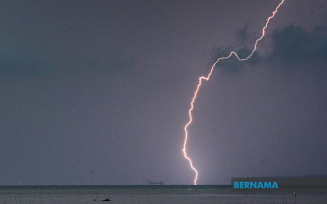
The Malaysian Meteorological Department has issued a significant weather alert covering thunderstorms, heavy rain, and strong winds that will persist across a substantial portion of the country until 5 pm. The warning encompasses numerous districts spanning from the northern peninsula through to eastern Malaysia, reflecting the broad geographical reach of the atmospheric disturbance affecting the region today.
In Kedah, the district of Baling faces the brunt of the adverse conditions forecasted for the afternoon. The warning highlights a concentrated band of thunderstorm activity that meteorologists have tracked moving through this northern region. Residents and travellers in Baling should exercise caution with visibility potentially compromised by heavy rainfall and the associated gusty winds that typically accompany such convective systems.
Perak bears the heaviest concentration of affected areas under the meteorological alert, with nine separate districts experiencing the same severe weather conditions. These include Manjung and Kinta in the state's central region, along with Perak Tengah, Kampar, Bagan Datuk, Hilir Perak, Batang Padang, and Muallim. This widespread coverage across Perak suggests a particularly robust weather system moving through the state, warranting heightened vigilance from residents in all listed districts.
Terengganu's east coast districts face turbulent conditions, with the warning extending to Setiu, Kuala Nerus, Hulu Terengganu, Kuala Terengganu, Marang, Dungun, and Kemaman. The coastal geography of several these areas means that strong winds accompanying the thunderstorms could prove particularly hazardous to maritime activities and beach-goers. The combination of heavy precipitation and gusty conditions creates challenging circumstances for anyone venturing outdoors.
Pahang's interior and eastern districts including Tanah Tinggi Cameron, Lipis, Jerantut, and Kuantan have also been included in the alert. The elevated terrain in the Cameron Highlands region may experience particularly intense rainfall, with potential implications for water levels in local waterways and drainage systems. Authorities in these districts would typically activate precautionary measures during such alerts.
In Selangor, four districts requiring weather-related vigilance are Sabak Bernam, Kuala Selangor, Hulu Selangor, and Gombak. Given Selangor's dense population and extensive infrastructure, the impact of sudden heavy rainfall in these areas could affect traffic flow and daily activities in the state's populated regions.
Johor's warning covers six districts: Kluang, Mersing, Pontian, Kulai, Kota Tinggi, and Johor Bahru. This substantial coverage of Malaysia's southernmost state indicates the weather system's reach extends well down the peninsula. Johor Bahru's inclusion suggests the adverse conditions could impact the major urban and commercial hub, potentially affecting transport links and business operations during the afternoon period.
On Malaysian Borneo, Sabah faces multiple areas of concern under the meteorological advisory. The Interior region experiences the warning, specifically covering Kuala Penyu, Beaufort, and Tambunan. Additionally, the state's West Coast region, Sandakan district with Beluran, and the northern Kudat division have been flagged for severe thunderstorm conditions. Sabah's diverse geography means these alerts require particular attention from residents in mountainous interior areas as well as coastal communities.
Federal Territory Labuan is also encompassed by the alert, rounding out the geographical scope of this significant meteorological event. The inclusion of Labuan, situated off Sabah's coast, indicates that the weather system affecting Borneo extends across a broad region.
MetMalaysia typically issues such alerts when atmospheric conditions support the development of deep convective systems capable of producing brief but intense rainfall, frequent lightning, and wind gusts that occasionally reach damaging levels. The afternoon timing of the alert aligns with typical diurnal heating patterns that trigger afternoon and early evening thunderstorm development across Malaysia during certain seasons.
The five-hour window provides a specific endpoint for the advisory, suggesting meteorological assessment indicates diminishing atmospheric instability after that period. Residents across all affected districts should remain vigilant regarding weather developments, avoid outdoor activities during peak storm times, secure loose objects that could be displaced by strong winds, and monitor local weather updates from MetMalaysia for any extensions or modifications to the alert period.
For maritime interests, aviation operations, and transport authorities managing key routes through the warned areas, such meteorological advisories necessitate heightened operational procedures and contingency planning. The combination of thunderstorms, heavy rainfall, and strong winds creates compounding hazards that warrant respect from all sectors of activity during the alert period.

